Currently In: Phoenix, AZ
Checking out a couple of other cities in AZ before the holidays
The other National Park near Moab is Canyonlands. We went to 2 areas: Island in the Sky and a few days later The Needles.
Nowhere did I read how many canyons are actually in the Park, but I counted 12 canyons just looking at the map. Here are a couple of views from Shafer Canyon Overlook.
From the Grand View Point overlook, we saw the Colorado River and Monument Basin.

We saw the snow capped Henry Mountains from the Orange Cliffs Overlook.
The next stop was Upheaval Dome where we hiked the trail.
Although you can't tell from this photo, but this depression is 2 miles wide. There are a couple of theories as to how this was caused: either a salt dome cracked and tilted the rock over time, or a violent meteorite impact fracture the rock.
I liked this rock formation near the Upheaval Dome.
In addition to the Colorado River, the Green River helped to form the canyons here. We checked out the Green River Overlook here and saw more canyon area.
There is an arch in Canyonlands too! We took a short hike to Mesa Arch.
Here is the view from under the Arch. Pretty Cool.
On our drive out of the Park, we got a great view of the La Sal Mountains!
We had heard that Dead Horse Point State Park was a must see. The entrance was just past Canyonlands so we stopped in.
Some folks (not us) are serious about mountain biking!
We got another view of the Colorado River.
We also learned about the man made potash ponds seen from the State Park overlook. The final result is fertilizer for crops.
At the end of the drive is Dead Horse Point, named for wild horses that were tied up and left to starve here.
On another day, we went to The Needles area of Canyonlands. We stopped at Roadside Ruins on our way to see the star of the show - The Needles. We saw this granary- very well preserved from the Ancient Puebloans.
Next we saw Wooden Shoe Arch out in the distance.
Our first glimpse of the colorful Cedar Mesa Sandstone.
We took a hike on the Pothole Point Trail. The potholes on the slickrock are full of life!
The trail provides some beautiful views of The Needles area. The rocks with the caps on them are called mushrooms.

And the actual Needles spires in the distance.
Although we didn't complete the drive to Elephant Hill, we did drive down to the start of that off road trail. It gave us an interesting view of the actual Needles.
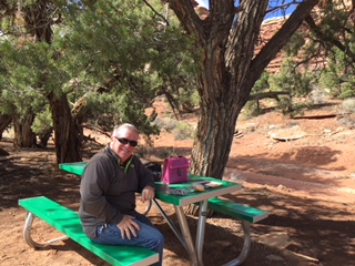
And we had lunch with the rocks towering above us!
Our last hike in Canyonlands was the Slickrock Foot Trail. It was marked with cairns (rock tower) guiding the way.
We saw the Upper Little Spring Canyon.
There was a view of the Lower Little Spring Canyon.
We hiked along more slick rock.
Until we got to the last viewpoint - Big Spring Canyon.
And our last view of the La Sal Mountains as we pulled into Moab that day!


No comments:
Post a Comment